How full · 9 November 2026
Taung Dam
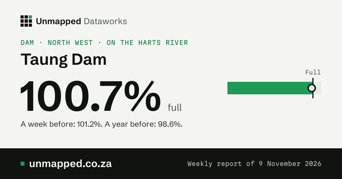
100.7% full
A week before: 101.2%. A year before: 98.6% (the ring on the bar).
- Last week
- 101.2%
- A year ago
- 98.6%
- Holds when full
- 61.4 million m³
- Holds now
- 61.8 million m³
The level, week by week
25 Aug 20259 Nov 2026
Show the numbers
| When or what | Figure |
|---|---|
| 9 November 2026 | 100.7% full, a year earlier 98.6% |
| 2 November 2026 | 101.2% full, a year earlier 98.8% |
| 26 October 2026 | 101.4% full, a year earlier 98.9% |
| 19 October 2026 | 101.6% full, a year earlier 97.8% |
| 12 October 2026 | 100.6% full, a year earlier 98.1% |
| 5 October 2026 | 100.7% full, a year earlier 98.6% |
| 31 August 2026 | 100.8% full, a year earlier 99.3% |
| 24 August 2026 | 99.5% full, a year earlier 99.3% |
| 17 August 2026 | 99.5% full, a year earlier 99.4% |
| 10 August 2026 | 99.8% full, a year earlier 99.5% |
| 3 August 2026 | 100.1% full, a year earlier 98.9% |
| 29 June 2026 | 100.2% full, a year earlier 98.5% |
| 22 June 2026 | 100.3% full, a year earlier 98.2% |
| 15 June 2026 | 100.3% full, a year earlier 97.4% |
| 8 June 2026 | 100.5% full, a year earlier 97% |
| 1 June 2026 | 100.7% full, a year earlier 96.7% |
| 25 May 2026 | 99.8% full, a year earlier 96% |
| 18 May 2026 | 100.3% full, a year earlier 95.9% |
| 11 May 2026 | 100.6% full, a year earlier 95.4% |
| 4 May 2026 | 100.5% full, a year earlier 95.4% |
| 20 April 2026 | 99.2% full, a year earlier 94.4% |
| 13 April 2026 | 99.6% full, a year earlier 94.5% |
| 6 April 2026 | 99.1% full, a year earlier 93.1% |
| 30 March 2026 | 99.2% full, a year earlier 92.5% |
| 16 March 2026 | 100.8% full, a year earlier 91.8% |
| 9 March 2026 | 100.8% full, a year earlier 91.4% |
| 2 March 2026 | 100.8% full, a year earlier 89.9% |
| 23 February 2026 | 100.9% full, a year earlier 84.9% |
| 16 February 2026 | 100.9% full, a year earlier 84% |
| 9 February 2026 | 99.8% full, a year earlier 83.5% |
| 2 February 2026 | 100.2% full, a year earlier 83.1% |
| 26 January 2026 | 101% full, a year earlier 82.9% |
| 19 January 2026 | 101.1% full, a year earlier 82.9% |
| 12 January 2026 | 101.1% full, a year earlier 82.8% |
| 5 January 2026 | 100.6% full, a year earlier 82.7% |
| 29 December 2025 | 99.5% full, a year earlier 82.8% |
| 15 December 2025 | 99.6% full, a year earlier 82.9% |
| 8 December 2025 | 100.2% full, a year earlier 83.1% |
| 1 December 2025 | 100.4% full, a year earlier 83.4% |
| 24 November 2025 | 100.2% full, a year earlier 83.9% |
| 17 November 2025 | 97.3% full, a year earlier 84.4% |
| 10 November 2025 | 97.3% full, a year earlier 84.5% |
| 3 November 2025 | 97.3% full, a year earlier 83.6% |
| 27 October 2025 | 97.3% full, a year earlier 83.6% |
| 20 October 2025 | 97.5% full, a year earlier 84% |
| 13 October 2025 | 97.9% full, a year earlier 84.3% |
| 6 October 2025 | 98.3% full, a year earlier 84.5% |
| 29 September 2025 | 99.5% full, a year earlier 84.9% |
| 22 September 2025 | 99.5% full, a year earlier 85.2% |
| 15 September 2025 | 99.5% full, a year earlier 85.6% |
| 8 September 2025 | 99.5% full, a year earlier 86.1% |
| 1 September 2025 | 99.5% full, a year earlier 86.6% |
| 25 August 2025 | 99.5% full, a year earlier 87% |
Source: Weekly State of Dams, 2026-11-09, Department of Water and Sanitation, station C3R006
Rain on the dam’s ward
Tallest 140 mm
NDJFMAMJJASO
Show the numbers
| When or what | Figure |
|---|---|
| Nov 2025 | 98 mm, normal 50 mm |
| Dec 2025 | 73 mm, normal 71 mm |
| Jan 2026 | 40 mm, normal 91 mm |
| Feb 2026 | 54 mm, normal 71 mm |
| Mar 2026 | 75 mm, normal 61 mm |
| Apr 2026 | 137 mm, normal 39 mm |
| May 2026 | 7 mm, normal 16 mm |
| Jun 2026 | 20 mm, normal 9 mm |
| Jul 2026 | 4 mm, normal 4 mm |
| Aug 2026 | 4 mm, normal 10 mm |
| Sep 2026 | 140 mm, normal 13 mm |
| Oct 2026 | 13 mm, normal 35 mm |
5.0 mm of rain so far in November; a normal November has 50 mm. This is the rain on ward 12 of Greater Taung, the ward the dam lies in: not on its whole catchment, which we don’t hold. Rain upstream fills a dam, so the two don’t have to move together.
Modelled estimates from a weather reanalysis, averaged over the whole place: not readings from a weather station, and not a forecast. The weather model runs about five days behind the weather, so the newest day here is usually five to twelve days ago.
Source: ERA5-Land, Copernicus Climate Change Service. The weather there, day by day
Where it is
- River
- Harts River
- In
- North West
- Holds when full
- 61.4 million m³
- Holds now
- 61.8 million m³
- Ward
- ward 12 of Greater Taung
Towns nearby
The nearest towns in a straight line from the dam. Being near a dam doesn’t mean a town gets its water from it: we hold no link yet between dams and the towns they supply.
Position and towns: © OpenStreetMap contributors, ODbL 1.0.
From space
Pictures from space: coming. A then-and-now pair and one picture a year for each dam will show here once that release is checked and out. Until then this stays empty: we don’t show a stand-in picture.